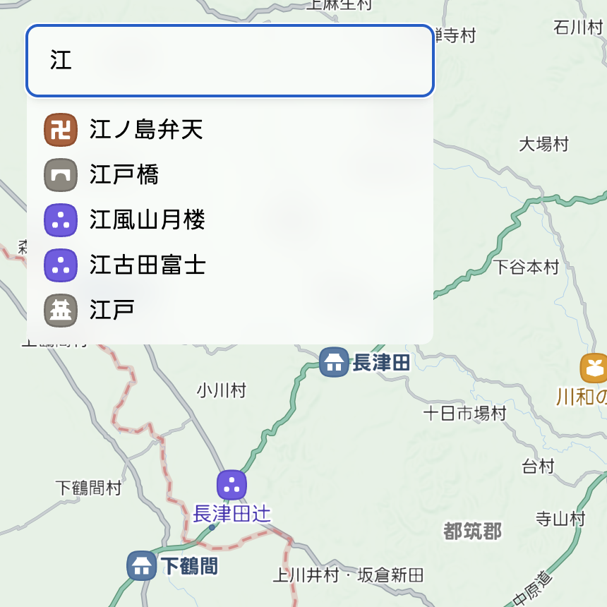
Search for locations!
Click the magnifying glass icon in the upper left.
Search for place names including point data and village names loaded in Rekichizu.

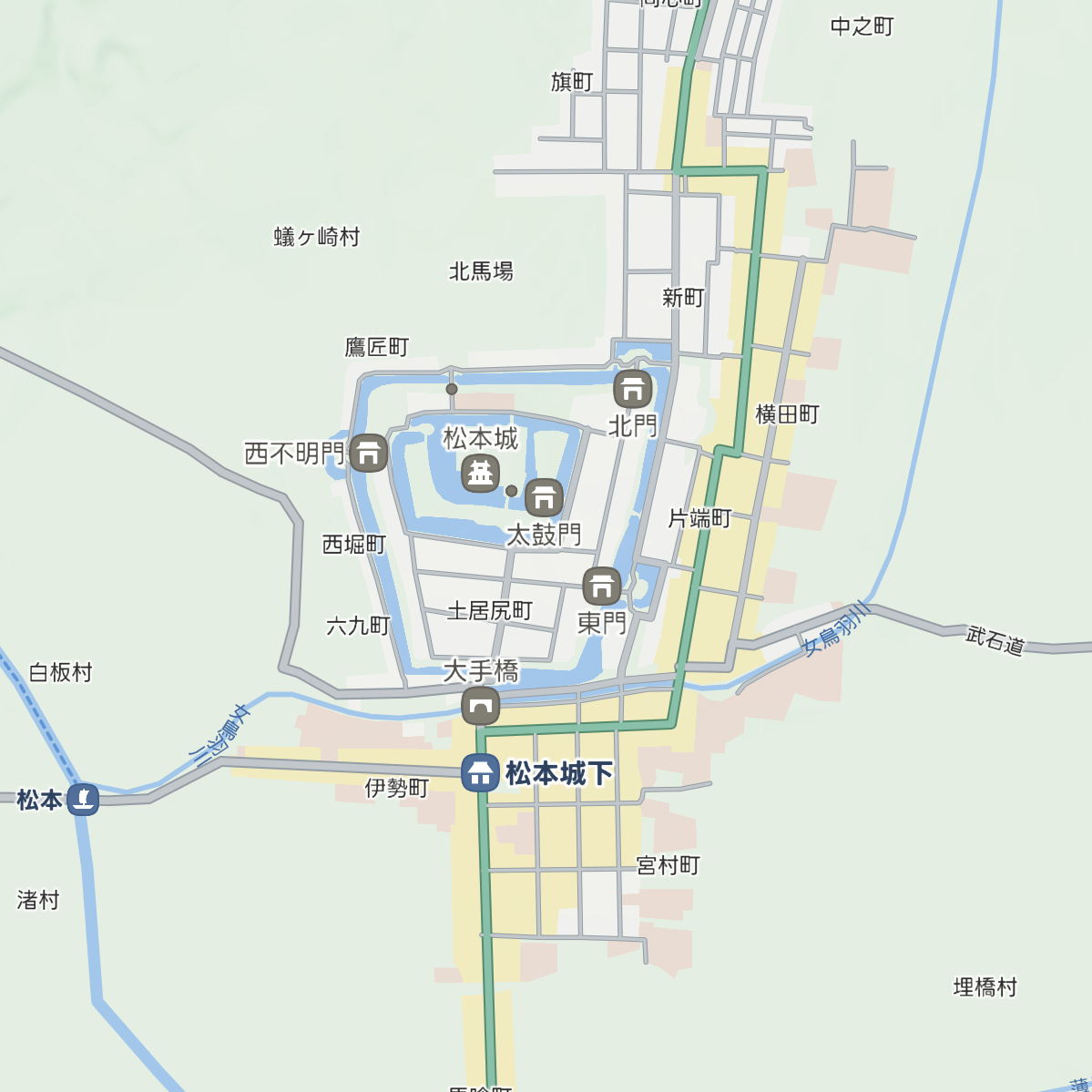
Rekichizu is a website where you can view historical maps with modern map design.
Currently, maps from the late Edo period (around 1800-1840) are published and updated regularly.
For more information about Rekichizu, please see this article.

Click the magnifying glass icon in the upper left.
Search for place names including point data and village names loaded in Rekichizu.
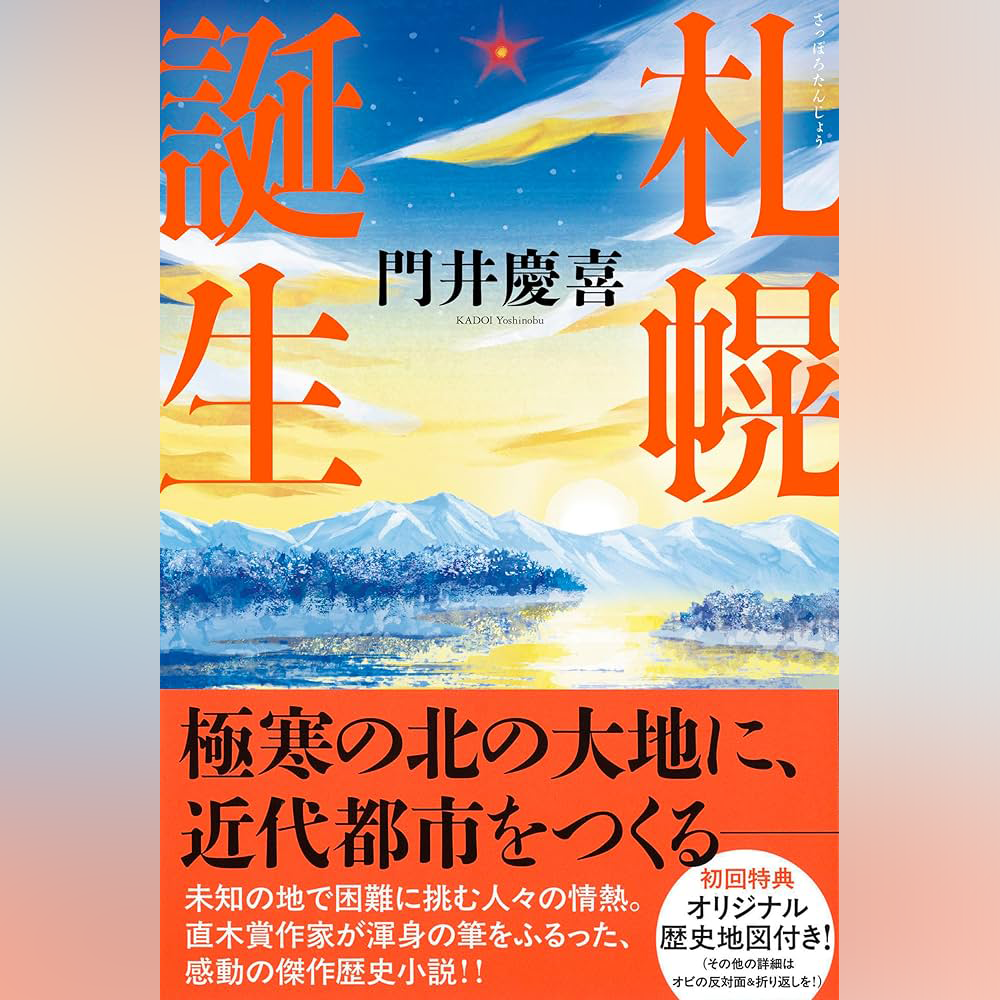
In collaboration with a novel by Yoshinobu Kadoi, "Sapporo Tanjo (The Birth of Sapporo)" (published by Kawade Shobo Shinsha), we created maps of Sapporo from the late Edo period to the Showa era and a special website.
For details, please see this page.
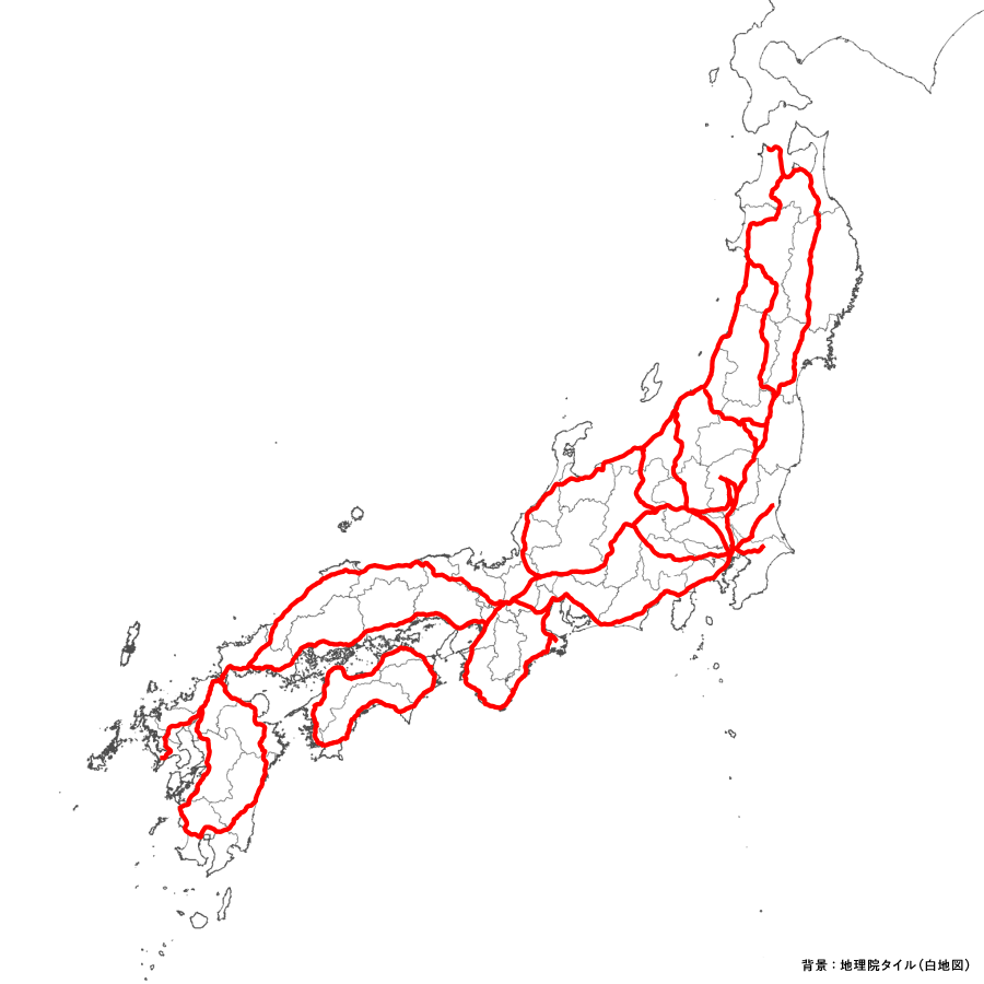
In collaboration with the ROIS-DS Center for Open Data in the Humanities, we created data for approximately 7,700 km of major roads from the Edo period.
The dataset is available for download in GIS format. For details, please see this page.
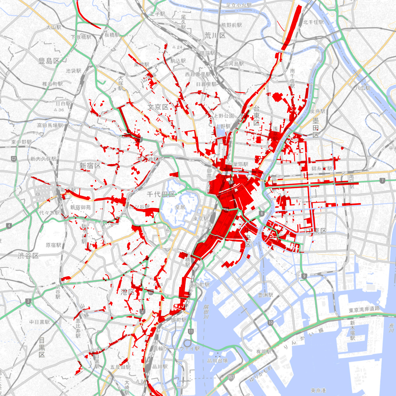
In collaboration with the ROIS-DS Center for Open Data in the Humanities, we extracted townhouse areas from all 29 sheets of 'Edo Kiriezu'. The data is published on Rekichizu (areas painted in light brown on the map).
The dataset is available for download in GIS format. For details, please see this page.
「紙の歴史マップを作ったが、配って終わりになっている」「地域の歴史地図資料をデジタル化したい」…そんなお悩みはありませんか?
位置情報技術のプロフェッショナルが、アプリ不要・ブラウザ一つで過去と現在をつなぐ仕組みを提供します。
データ作成からページ構築まで
地図データの作成から専用ページの構築まで、一気通貫でサービスを提供します。
日本全国シームレス
あなたの街だけでなく街道や川の向こう側も含めた広域観光マップになります。
高精細ベクタデータ
絵ではなく線と点で作られたデータだから、拡大しても美しく、印刷・展示等の二次利用も可能です。
持続可能な仕組み
作成したデータは「れきちず」本体に統合され、全世界向けに情報資産として残り続けます。
You can freely use screenshots of the map in blog posts (including paid articles, etc.), social media posts, etc., as long as you clearly indicate the source (Rekichizu).
Rekichizu's tile data and styles can be freely used under CC BY-NC-ND 4.0. In other words, as long as you use the published tile data and styles as they are, you can create maps using the tiles.
The style URLs are as follows:
The tile URL ishttps://
If you are considering using it in books, exhibitions, commercial apps, etc., please contact us through the inquiry form below.
The "Nihon Rekishi Chimei Taikei" place name item dataset contains information up to the early Meiji period, and the "Edo Map Place Name Dataset" contains information from the 1850s, so there is a slight discrepancy with the era of the currently published 'Rekichizu'.
The "Late Edo Period Coastline/Water Area Dataset" is a dataset created by Heibonsha Cartographic Publishing Co., Ltd. Rekichizu uses data for areas excluding the Kanto and Chubu regions.
The "Digital Ino Map (©Tokyo Cartographic Co., Ltd. 2015, ©Kawade Shobo Shinsha 2015)" is a precision digitization of the "Dai Nihon Enkai Yochi Zenzu (commonly known as the 'Ino Map')" created by Ino Tadataka (1745-1818), with geometric corrections applied for comparison with modern maps.
With special permission, we have published data from 214 sheets of the "Large Map" on Rekichizu as a sample for users. Please see below for details.
Digital Ino Map Web Version [Trial] (Web production/operation: TRC-ADEAC Inc.)
If you have any feedback, comments, or corrections, please let us know through the contact form.
Management: MIERUNE Inc. / Hajime Kato @chizutodesign